
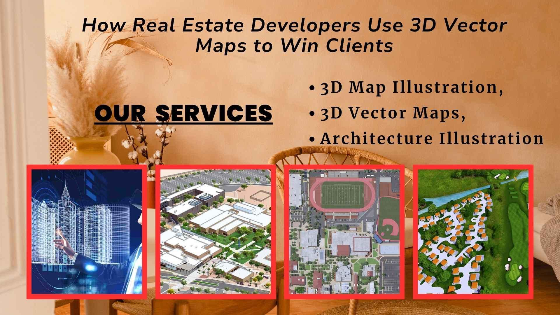
From Blueprint to Belief: How Real Estate Developers Use 3D Vector Maps to Win Clients
In the fiercely competitive real estate development landscape, selling a vision is paramount. Before a single brick is laid, developers must effectively communicate the immense potential of their projects to a diverse audience: potential buyers, investors, city planners, and community stakeholders. Traditional tools like 2D floor plans, architectural drawings, and even static renders, while informative, often fall short of painting the complete, immersive picture. A 3D Vector Map is far more than a glorified site plan; it's a dynamic, data-rich digital twin of a proposed development within its broader urban context. It allows real estate developers to showcase the intricate details of their Architecture Illustration, demonstrate seamless integration, and ultimately, build trust and excitement, converting hesitant prospects into enthusiastic advocates.
The Power of Precision: 3D Vector Maps as the Foundation
The effectiveness of an interactive real estate visualization hinges on the underlying data's accuracy and scalability. This is precisely where 3D Vector Maps offer unparalleled advantages. Unlike raster (pixel-based) images, which lose quality upon zooming, vector maps are built from mathematical descriptions of points, lines, and polygons.
Here's why 3D Vector Maps are foundational for winning clients:
-
Infinite Zoom and Clarity:
The unparalleled zoom and clarity in a 3D Vector Map allows for detailed exploration and instills confidence in the project's meticulous planning.
-
Data-Rich Interactivity:
Each element within a 3D Vector Map can be imbued with data. Clicking on a building might reveal floor plans, unit availability, pricing, or virtual tours. Clicking on a park might show its size, amenities, or future events. This transforms the map into a dynamic, interactive information hub.
-
Scalability for All Project Sizes:
Whether it's a single high-rise or a multi-phase master-planned community spanning acres, 3D Vector Maps can handle the scale. Developers can showcase individual buildings or the entire neighborhood with equal precision and detail, ensuring every Architecture Illustration contributes to the overarching design.
-
Real-time Updates and Adaptability:
As designs evolve or new phases are introduced, the underlying 3D Vector Maps can be updated quickly without requiring a complete re-render. This agility is crucial for keeping sales teams equipped with the latest information and for showcasing responsive development.
-
Geospatial Accuracy:
Integrating GIS (Geographic Information System) data ensures that the 3D Vector Maps precisely reflect real-world topography, existing infrastructure, and neighboring properties. This contextual accuracy is vital for demonstrating thoughtful urban integration and for winning over skeptical stakeholders.
This robust foundation allows for the creation of compelling 3D Map Illustration that are both visually stunning and functionally powerful.
Bringing the Vision to Life: Architecture Illustration in Context
While the 3D Vector Maps provide the precise canvas, it's the artistry of Architecture Illustration that breathes life into the proposed developments, making them appealing and aspirational.
Key aspects of integrated Architecture Illustration:
-
Photorealistic Buildings:
Each proposed building is rendered with highly realistic materials, textures, and lighting, showcasing its unique architectural style and how it will appear under different conditions.
-
Vibrant Landscaping and Public Spaces:
The Architecture Illustration extends to meticulously designed parks, plazas, water features, and pedestrian zones. Showcasing lush greenery, inviting seating areas, and active public spaces helps clients envision the lifestyle offered by the development.
-
Dynamic Environments:
Interactive maps can simulate different times of day (dynamic sun paths and shadow studies), weather conditions, or even seasonal changes. This adds another layer of realism to the Architecture Illustration, helping potential buyers imagine living in the space year-round.
-
View Analysis:
Highlighting potential views from specific units or common areas, demonstrating the unique selling proposition of a property. This form of Architecture Illustration is highly persuasive for high-value residential or commercial projects.
This seamless integration of detailed Architecture Illustration transforms the 3D Vector Maps into a powerful sales tool, allowing clients to connect emotionally with the future development.
Know How 3D Map Illustration Closes Deals
The culmination of precise 3D Vector Maps and stunning Architecture Illustration is a high-impact 3D Map Illustration that empowers real estate developers to win clients in multiple scenarios:
-
Showcasing Master-Planned Communities:
For large developments, a 3D Map Illustration provides an unparalleled overview, allowing clients to understand the relationship between residential areas, commercial zones, amenities, and green spaces. They can explore different phases, available plots, and future expansions, making the grand vision tangible.
-
Virtual Site Tours:
Sales teams can conduct virtual tours directly from the 3D Map Illustration, guiding clients through specific areas, highlighting features, and answering questions in real-time. This is particularly valuable for remote clients or before physical construction begins.
-
Community Engagement and Approval:
For public hearings or community consultations, a clear and interactive 3D Map Illustration helps bridge communication gaps. Residents can visualize proposed changes to their neighborhood, understand new traffic flows, or see the integration of public amenities, fostering greater transparency and buy-in.
-
Accelerated Sales Cycles:
By providing such a rich and interactive experience upfront, developers can answer more questions, overcome objections more effectively, and reduce the time it takes for a client to make a purchase decision.
-
Competitive Differentiation:
In a crowded market, offering an interactive 3D Map Illustration sets a developer apart. It signals innovation, transparency, and a commitment to providing the best possible client experience, making their Architecture Illustration truly stand out.
The 3D Map Illustration becomes a dynamic sales collateral, a powerful presentation tool, and a constant reference point for all stakeholders.
Conclusion
In the demanding world of real estate development, winning clients is about more than just selling square footage; it's about selling a compelling future. By providing an interactive, data-rich, and visually stunning 3D Map Illustration, they empower clients to explore, understand, and connect with projects in a way that traditional methods simply cannot achieve. For any real estate developer aiming to stay ahead of the curve and consistently turn visionary concepts into tangible successes, investing in high-quality interactive 3D Vector Maps is no longer an option, but a strategic imperative.